Deployed by search-and-rescue teams, police and volunteers to rapidly locate missing individuals in complex or expansive environments, drastically reducing search times when every minute counts.
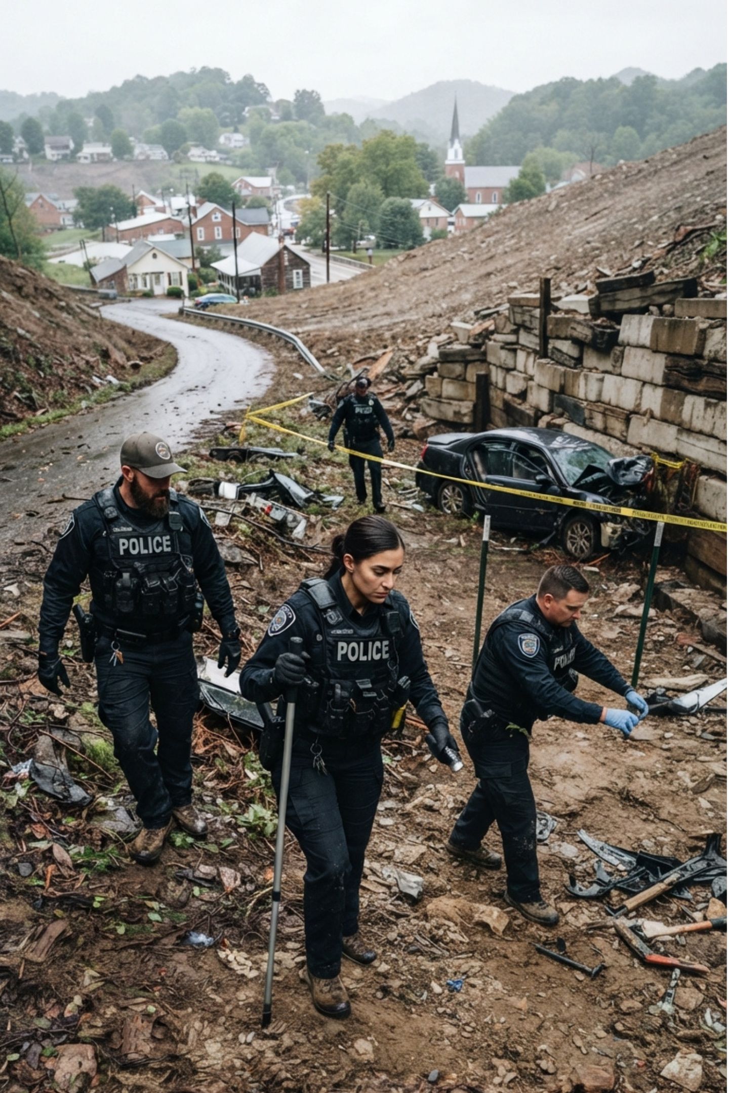
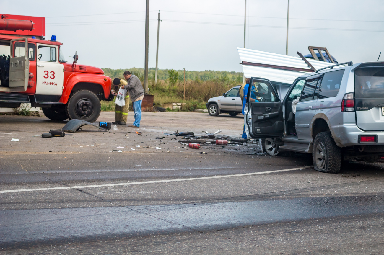
Vehicle Collision Response
Deployed by emergency services, traffic police and first responders to rapidly assess highway accidents, manage traffic flow and ensure responder safety.
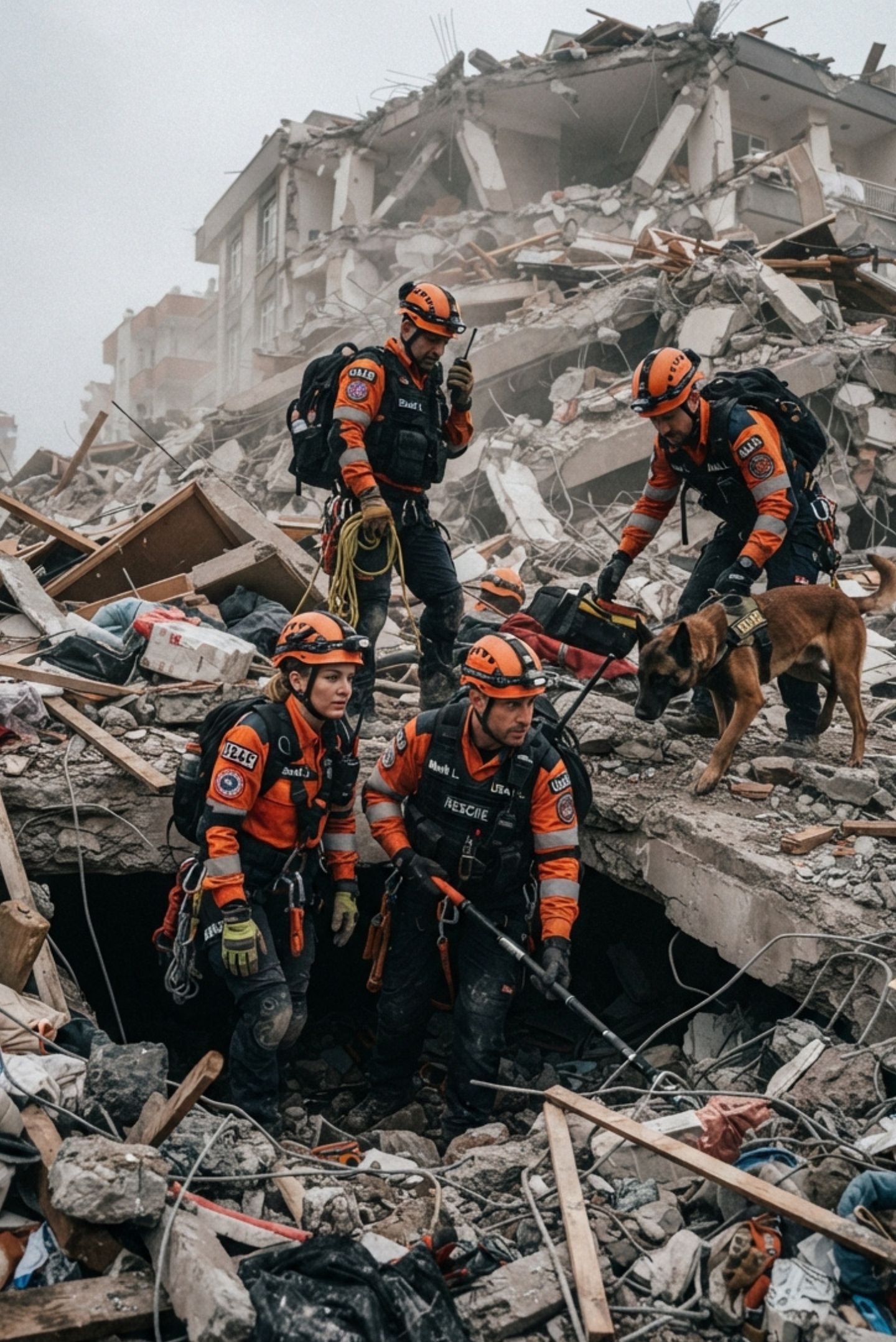
Disaster Rescue
Deployed by emergency management and disaster response teams to safely evaluate catastrophic events, locate survivors and navigate hazardous environments after natural or man-made disasters.
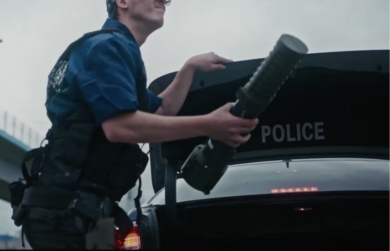
Emergency Stop
Launched from the patrol vehicle during a traffic stop, Overwatch gives officers an overhead view of the vehicle and its occupants before anyone approaches.
Raid Command
An instant aerial picture of the building, exits and surroundings during warrant service and tactical entries, streamed live to the command post.
Adverse Crash
Rapid overhead assessment of multi-vehicle crashes in bad weather or low light, locating casualties and guiding responders to them.
Search and Rescue
AI-assisted detection of people across fields, forests, water and rubble, cutting search time when every minute counts.
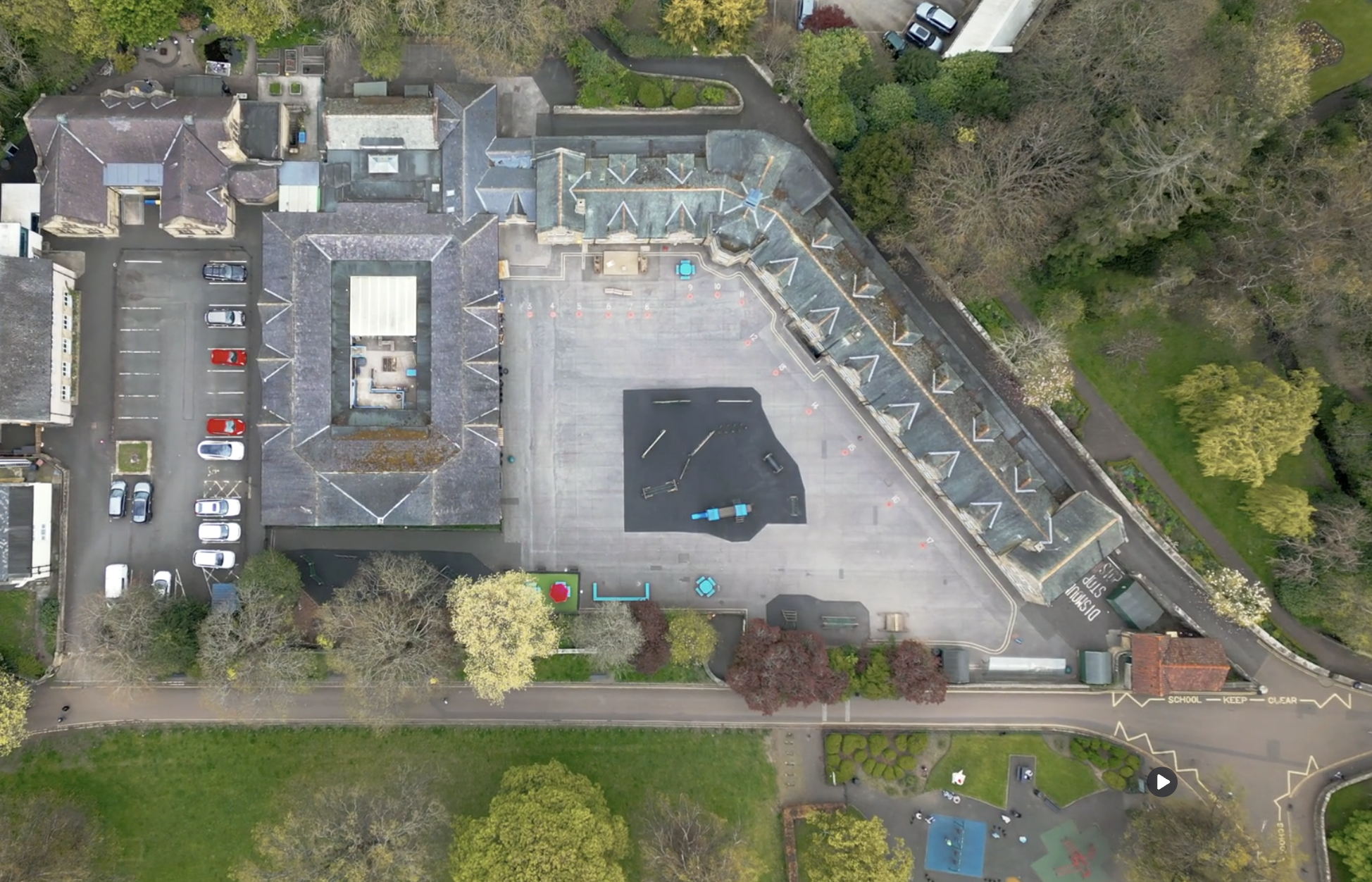
Schools & Houses of Worship
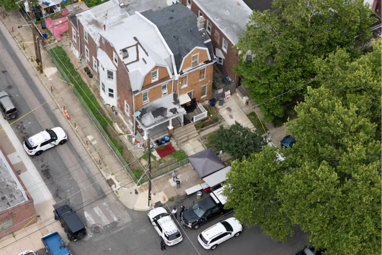
Gunshot, glass-break or alarm triggers launch the drone before anyone reaches a phone, giving responders live eyes on the scene within seconds.
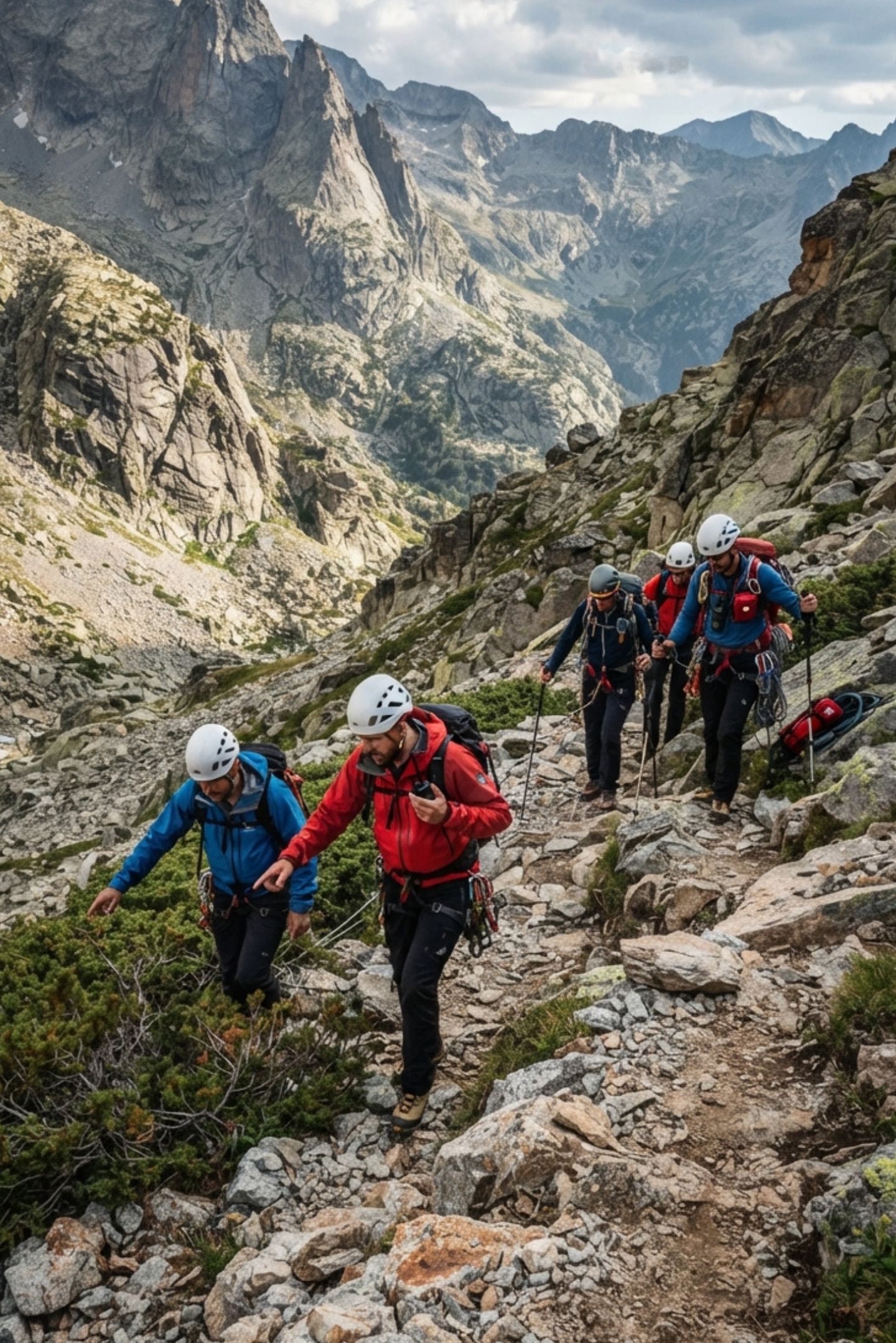
Mountain & Wilderness Rescue
Deployed in mountainous and alpine environments to rapidly locate missing persons, assess hazardous terrain and protect rescue personnel in life-threatening conditions.
Overwatch Drone
Military Applications
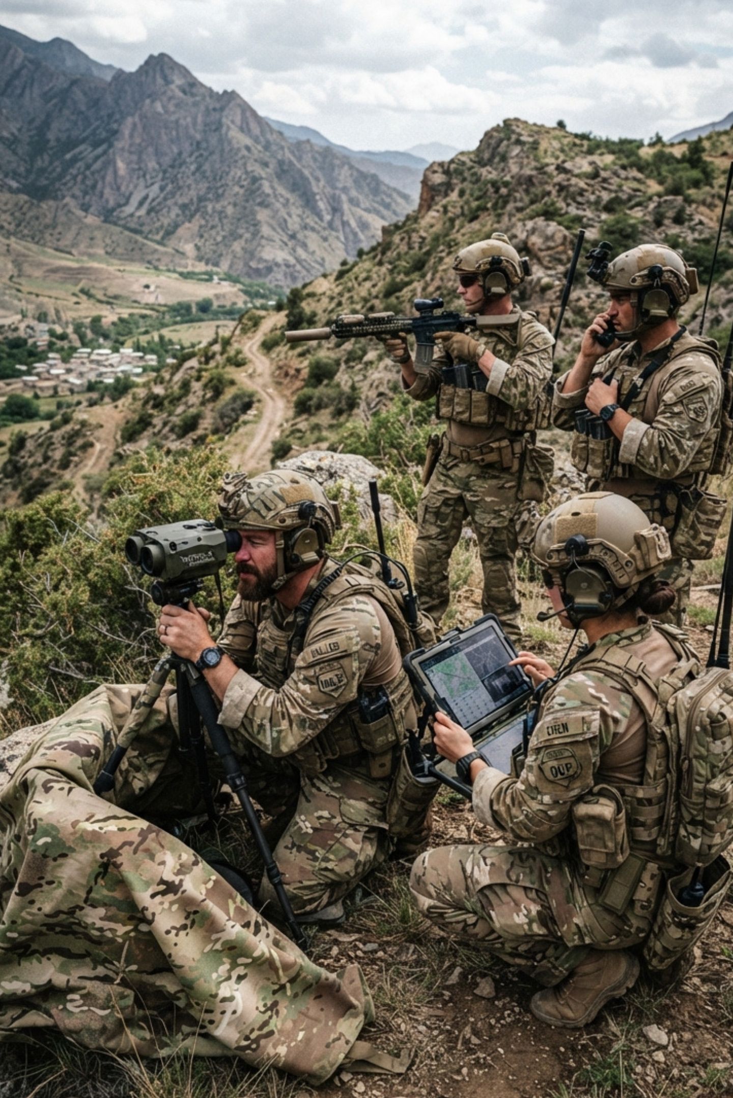
Tactical ISR
The DefendEye drone can be effectively deployed across a wide range of critical tactical reconnaissance scenarios to protect personnel and secure the information advantage.
Perimeter & Infrastructure
Protects bases, camps, refineries, ports, prisons and utility sites: sensor-triggered launches turn static perimeter defence into an automated aerial response.
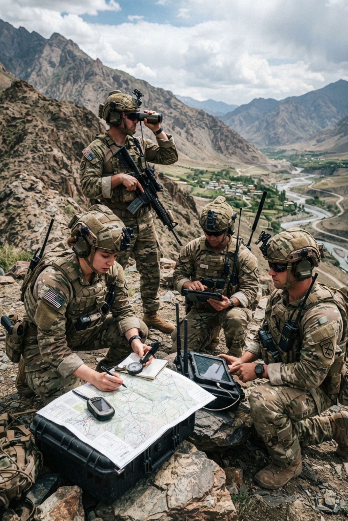
Terrain Mapping
Deployed by reconnaissance and command units to rapidly gather immediate, tactical spatial intelligence in hostile or dynamic zones.
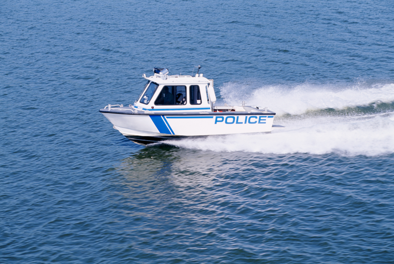
Maritime Ops
Launch from vessels, piers and coastal posts to track small craft, monitor harbours and give boarding teams a live overhead picture.
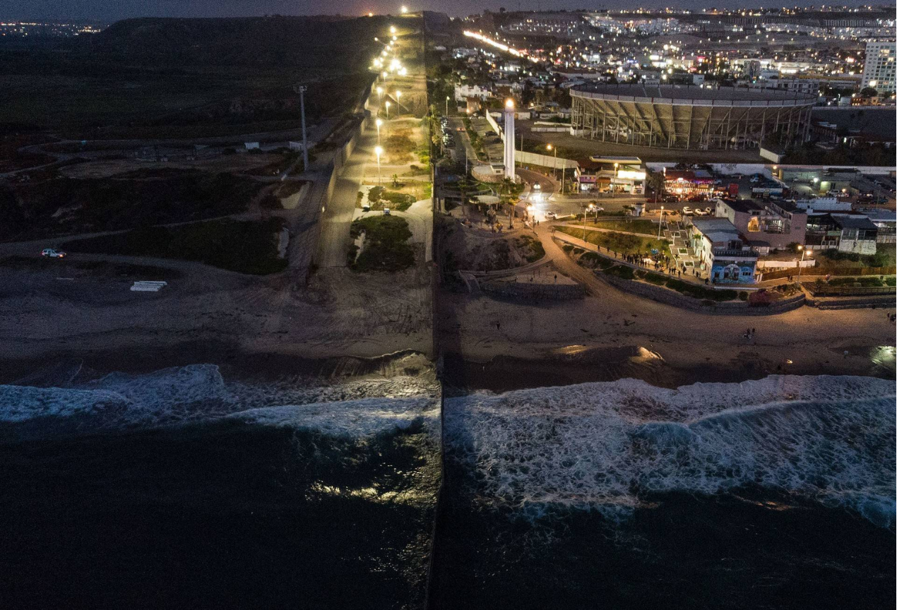
Border Defense
Autonomous launches from fixed posts along the border detect and track crossings in real time, day and night, and stream video to the command centre.
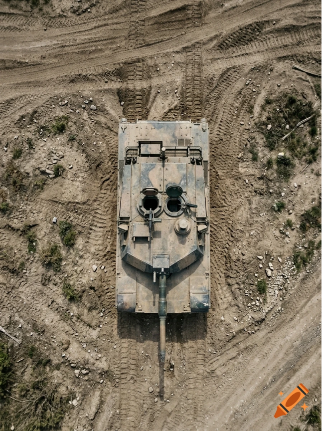
Eyes for Armor
Gives armored crews and small units an instant top-down view of the terrain ahead, without exposing a soldier or tying up a pilot.
DefendEye Booking
Book a Meeting
Discover what DefendEye drones can do for your sector. Book a chat with us.