

Disaster victim location after earthquakes/floods
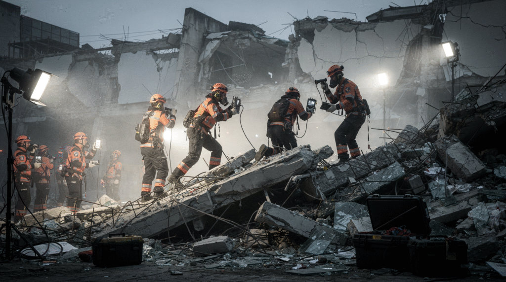
In the aftermath of earthquakes, floods, and large-scale natural disasters, locating survivors quickly is critical to saving lives. The DefendEye Autonomous AI Drone provides emergency response teams, search and rescue units, and disaster management agencies with immediate aerial intelligence to accelerate victim location and improve rescue coordination.
Deployable in under 10 seconds, DefendEye can be launched instantly into disaster zones to provide live aerial video and AI-powered detection across collapsed buildings, flooded streets, debris fields, and inaccessible terrain. It helps responders rapidly identify stranded individuals, movement, distress signals, and areas where victims may be trapped, significantly reducing search times.
In earthquake scenarios, DefendEye can assess structural collapse, identify safe entry points, and locate survivors in unstable environments. During floods, it can scan rooftops, submerged roads, and isolated areas where victims may be stranded or cut off. Its aerial perspective helps teams map hazards, monitor water flow, and plan safer rescue routes.
With autonomous flight and simple tablet or mobile controls, DefendEye can be deployed by frontline responders without requiring a specialist drone pilot. By delivering fast situational awareness and precise victim location data, DefendEye improves rescue speed, increases responder safety, and helps save lives during the most challenging disaster response operations.